Martes, 17 de Abril de 2018 10:00 Hora en España ¿Alguna vez ha pensado que trabajar con la metodología BIM está fuera de su alcance? Al igual que usted, muchas oficinas de proyectos están empezando a ver los beneficios de la transformación digital como un medio para mejorar la entrega de proyectos y el rendimiento de […]
El Colegio Oficial de Arquitectos y Arquitectos Técnicos de Cáceres organiza el Curso de SketchUp Básico – Intermedio en modalidad presencial (Cáceres) y online (videoconferencia) los días 17, 19, 24 y 26 de Abril de 17:00 a 21:00 h. Mas información
The 2018 Engineering Summit @ Esri User Conference (Esri UC) is where forward-thinking professionals learn how the ArcGIS platform can change the game. Join industry colleagues and Esri subject matter experts in San Diego, California, for a full day of GIS learning ahead of the Esri UC. See all the ways that location-based intelligence can […]
The Developer Outreach team is proud to announce that we are continuing our new GeoDev webinar series! This is a webinar series produced by developers for developers. We would love to invite you to join us for our next one. In this next GeoDev Webinar, you will learn how the ArcGIS Runtime SDK for Qt […]
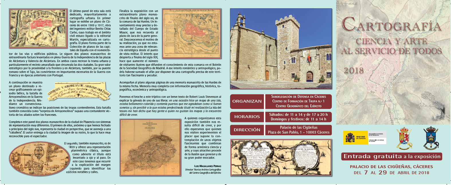
La Subdelegación de Defensa en Cáceres, junto con el Centro de Formación de Tropa Nº1 y el Centro Geográfico del Ejercito, organizan una Exposición sobre Cartografía en el Palacio de las Cigüeñas de Cáceres. La exposición se podrá visitar del 7 al 29 de abril en horarios: Sábados: de 11 a 14h y de 17 a […]
Webinar Servicios Cloud EMCS 11 de abril. 10.00 h ¿Aún no te has inscrito a nuestro webinar sobre Servicios Cloud EMCS de Esri? Descubre las ventajas y funcionalidades que ofrecemos en vivo con este seminario. Con este nuevo servicio Esri España tiene como objetivo ayudarte a gestionar tu información geográfica en la nube, […]
We’ve been busy here at Esri, and we’re excited to share what we’ve been up to. Highlights include the following: Esri’s MOOC Program—This year we’re launching Cartography., a new massive open online course (MOOC) focused on authoring beautiful and effective information products in ArcGIS Pro. Register for the first offering of this course, which will […]


